

Geological Research Authority Launches RS-GIS Training Program in Gedaref
Gedaref – Sudanhorizon
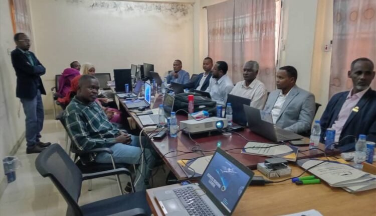
The Sudanese Geological Research Authority has launched a specialized training course in Remote Sensing and Geographic Information Systems (RS-GIS) at its branch office in Gedaref State, as part of its ongoing efforts to strengthen national technical capacity.
The program, which began on Sunday, brought together representatives from several government and academic institutions involved in natural resource management and development.
Participants include staff from the Sudanese Mineral Resources Company, the Quarries Administration, the University of Gedaref, the Higher Council for the Environment, the Gedaref State Water Authority, and the Investment Commission, reflecting a collaborative approach to knowledge sharing and institutional cooperation.
The training aims to enhance participants’ technical skills in applying remote sensing and GIS technologies to geological exploration, natural resource management, spatial mapping, and evidence-based planning and decision-making.
According to a press statement issued by the Authority’s Media Office, the course forms part of the Geological Research Authority’s broader strategy to build national expertise, transfer modern technologies, and expand the use of advanced geospatial applications in support of sustainable development and more efficient resource management in Gedaref State.
Shortlink: https://sudanhorizon.com/?p=15838